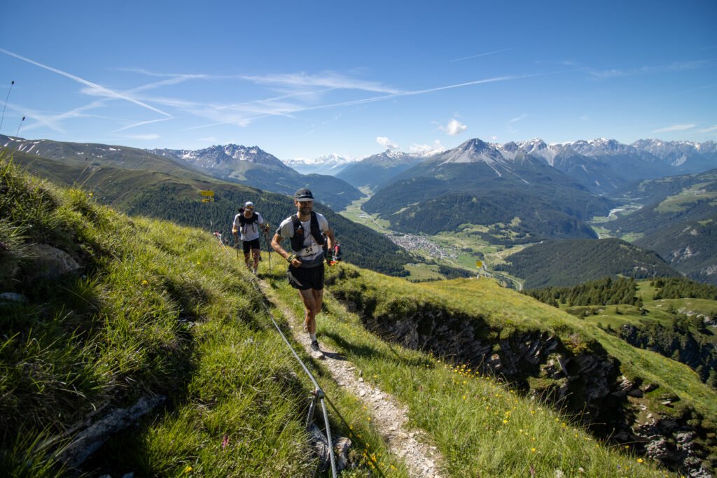
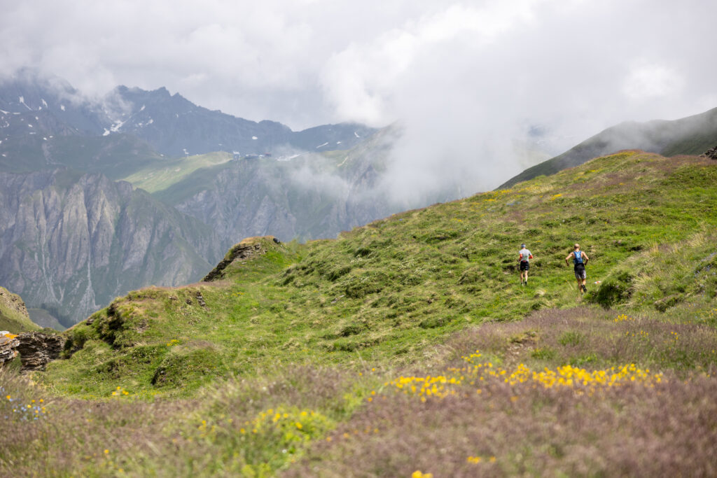
A long, challenging run, but one that is rewarded with a fantastic experience of nature and a magnificent view of Lake Reschen and the Ortler group.
You start at the valley station of the Mutzkopf lift and first run up to the Großmutzkopf and on to the border triangle where Austria, Italy and Switzerland meet. Follow the high-level trail to the Rescher Alm, where you can stop for refreshments for the first time. Flowing trails take you to Schöneben, where you are already well over halfway there. The fantastic last part of the high-level trail, with constant views of Lake Reschen, the Ortler group and the Weißkugel, finally leads to the Haideralm, from where it’s all downhill to St. Valentin. POI=Point of Interest